
NLR's geospatial data science research uses geographic information systems (GIS) to produce maps, analyses, models, applications, and visualizations that inform energy planning and production.
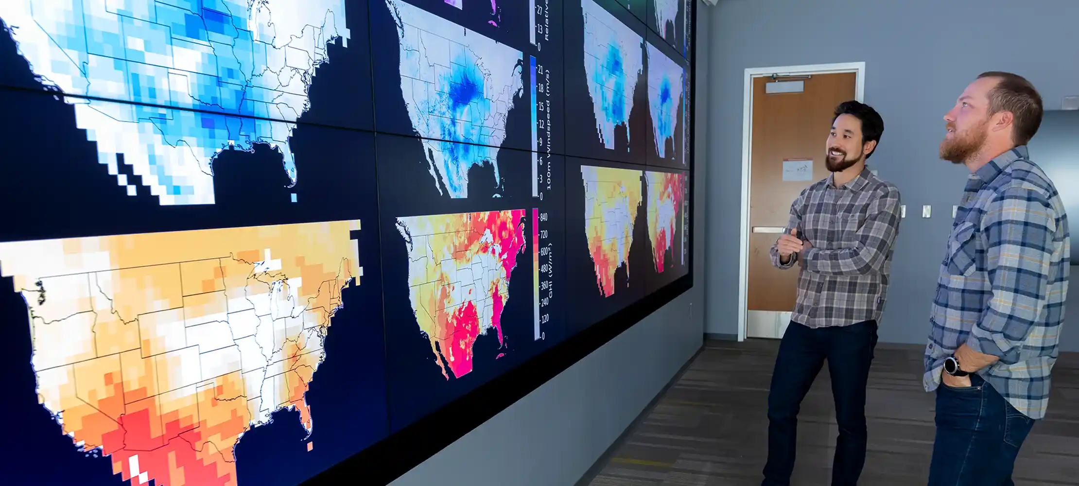
We address critical challenges through cutting-edge practices, offering a unique perspective of the geospatial context surrounding contemporary energy issues and solutions.
Share

Last Updated July 15, 2026